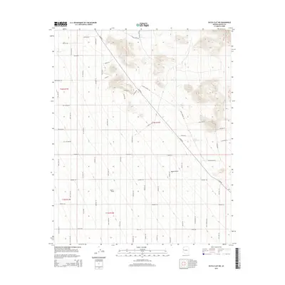
2014 Map of Dutch Flat NW
USGS Topo · Published 2014About this map
Dutch Flat occupies the central expanse of this Mohave County landscape, where the arid plains of the Mojave Desert transition toward the drainage of Cow Cr. The area is defined by a dense grid of named roads reflecting a unique cultural overlay onto the desert terrain, with many thoroughfares referencing icons of the American West and local industry. Principal arteries such as Alamo Rd and Geronimo Rd provide structure to a network that includes Gold Mine Rd and Cattle Crossing Rd, pointing to the historical ranching and mineral interests of the region. The map reveals a specific modern spatial organization, with corridors like Wyatt Earp Rd, Jessie James Rd, and Boot Hill Dr marking out the land. These features illustrate how contemporary land use and local identity continue to be shaped by the legendary heritage of the frontier.
Find a feature on this map
45 named features on this map. Tap any name to fly to it.
Don’t see what you’re looking for? This feature index may not catch every label — zoom into the map to look around manually.
Map Details
Editions of this 2014 Dutch Flat NW Map
This is the sole edition of this map. No revisions or reprints were ever made.
Other maps of this area

1923 · Signal
USGS Topo · 1:250,000

1927 · Yucca
USGS Topo · 1:62,500

1927 · Buck Mountains
USGS Topo · 1:62,500

1929 · Buck Mountains
USGS Topo · 1:62,500

1929 · Yucca
USGS Topo · 1:62,500

1942 · Signal
USGS Topo · 1:250,000

1950 · Prescott
USGS Topo · 1:250,000

1954 · Needles
USGS Topo · 1:250,000

1954 · Prescott
USGS Topo · 1:250,000

1956 · Needles
USGS Topo · 1:250,000