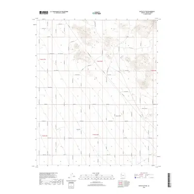
2018 Map of Dutch Flat NW
USGS Topo · Published 2018About this map
Dutch Flat and the surrounding Mojave Desert are mapped here in a period characterized by grid-based rural development and western-themed nomenclature. The landscape is primarily defined by its drainage patterns, most notably Cow Cr, and an extensive network of named roads. Many of these thoroughfares pay homage to figures of the American West, including Wyatt Earp Rd, John Wayne Rd, Jesse James Rd, and Geronimo Rd. This specific survey captures the transition of the desert into surveyed tracts, where features like Box Canyon and Cactus Wren sit alongside residential naming conventions such as Boot Hill Dr and Fireside. Researchers can trace the layout of this Mohave County region, noting the systematic road placement that follows the Section and Township lines of the Public Land Survey System.
Find a feature on this map
68 named features on this map. Tap any name to fly to it.
Don’t see what you’re looking for? This feature index may not catch every label — zoom into the map to look around manually.
Map Details
Editions of this 2018 Dutch Flat NW Map
This is the sole edition of this map. No revisions or reprints were ever made.
Other maps of this area

1923 · Signal
USGS Topo · 1:250,000

1927 · Yucca
USGS Topo · 1:62,500

1927 · Buck Mountains
USGS Topo · 1:62,500

1929 · Buck Mountains
USGS Topo · 1:62,500

1929 · Yucca
USGS Topo · 1:62,500

1942 · Signal
USGS Topo · 1:250,000

1950 · Prescott
USGS Topo · 1:250,000

1954 · Needles
USGS Topo · 1:250,000

1954 · Prescott
USGS Topo · 1:250,000

1956 · Needles
USGS Topo · 1:250,000