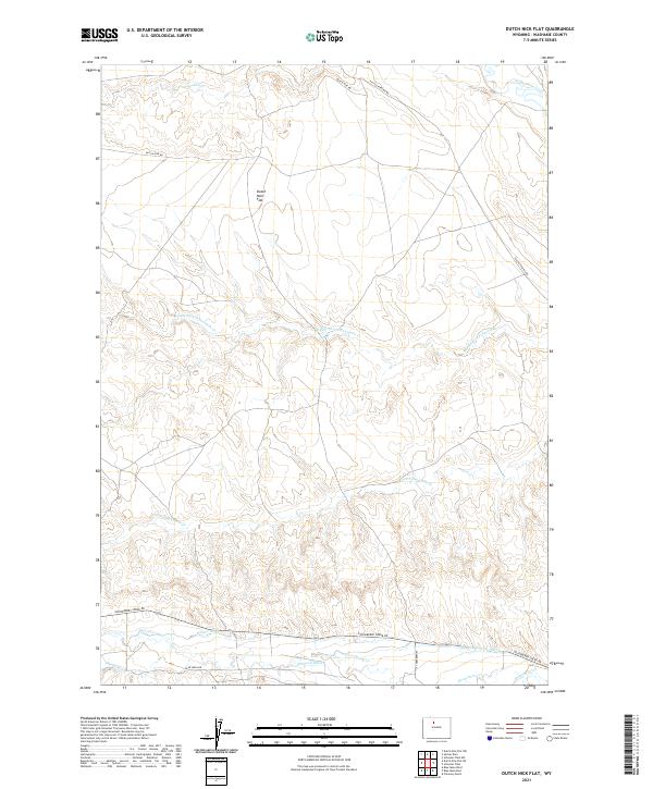
2021 Map of Dutch Nick Flat
USGS Topo · Published 2021About this map
Dutch Nick Flat defines the upper portion of this Wyoming landscape, situated within a complex network of seasonal drainages and irrigation infrastructure. The terrain is characterized by the branching waters of Fifteenmile Creek, including the Middle Fork Fifteenmile Cr and S Fork Fifteenmile Cr, which carve through the high plains of Washakie County. In the northern reaches, Crooked Cr and the Dutch Nick Rd mark the transition toward more remote territory.
Find a feature on this map
20 named features on this map. Tap any name to fly to it.
Don’t see what you’re looking for? This feature index may not catch every label — zoom into the map to look around manually.
Map Details
Editions of this 2021 Dutch Nick Flat Map
This is the sole edition of this map. No revisions or reprints were ever made.
Other maps of this area

1914 · Blue Mesa
USGS Topo · 1:62,500

1916 · Blue Mesa
USGS Topo · 1:62,500

1945 · Kirby
USGS Topo · 1:62,500

1946 · Kirby
USGS Topo · 1:62,500

1951 · Sucker Dam
USGS Topo · 1:24,000

1951 · Dutch Nick Flat
USGS Topo · 1:24,000

1951 · Schuster Flats
USGS Topo · 1:24,000

1951 · Schuster Flats NW
USGS Topo · 1:24,000

1951 · Dutch Nick Flat SW
USGS Topo · 1:24,000

1951 · Dutch Nick Flat NW
USGS Topo · 1:24,000