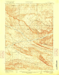
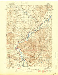
1916 Map of Blue Mesa
USGS Topo · Published 1916About this map
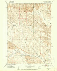
Blue Mesa dominates this central Wyoming landscape, an area defined by its intricate drainage systems and high-desert relief as surveyed in 1913 and 1914. The terrain is deeply incised by watercourses such as Gooseberry Creek, Cottonwood Creek, and the winding Grass Creek, which flows through the Grass Creek Basin. Remote water sources like Harris Spring, Ivy Spring, and the ephemeral Dry Spring Gulch would have been vital landmarks for early ranchers and travelers in this arid region. The map also delineates the high-altitude Washakie and Hot Springs County boundary, reflecting the political organization of these lands shortly after the formation of Hot Springs County. The presence of Coal Draw and Sand Draw points to the geologic character that would later define the region’s extractive industries, all captured here in meticulous topographic detail.
Find a feature on this map
13 named features on this map. Tap any name to fly to it.
Don’t see what you’re looking for? This feature index may not catch every label — zoom into the map to look around manually.
Map Details
Editions of this 1916 Blue Mesa Map
2 editions found

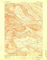
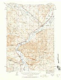
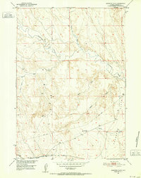
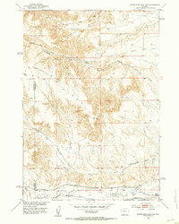
Other maps of this area
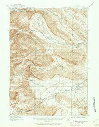
1913 · Grass Creek Basin
USGS Topo · 1:62,500

1914 · Blue Mesa
USGS Topo · 1:62,500
1915 · Grass Creek Basin
USGS Topo · 1:62,500
1945 · Kirby
USGS Topo · 1:62,500
1946 · Kirby
USGS Topo · 1:62,500
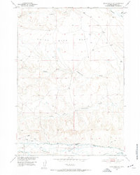
1951 · Dutch Nick Flat
USGS Topo · 1:24,000
1951 · Schuster Flats
USGS Topo · 1:24,000
1951 · Dutch Nick Flat SW
USGS Topo · 1:24,000
1951 · Gillies Draw
USGS Topo · 1:24,000

1955 · Cody
USGS Topo · 1:250,000