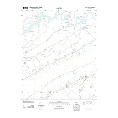
2010 Map of Dutch Valley
USGS Topo · Published 2010About this map
Rutledge serves as the primary hub in this corner of Grainger County, situated along the valley floor near the Rutledge Cemetery and the waters of Richland Creek. The map reveals a landscape defined by the winding course of the Clinch River and the subsequent expansion of Big Ridge Lake, which creates a complex shoreline of points and bluffs like Shelton Bluff and Sycamore Shoals. These waterways are flanked by the high ridges of Pine Mountain and the Richland Knobs.
Find a feature on this map
97 named features on this map. Tap any name to fly to it.
Don’t see what you’re looking for? This feature index may not catch every label — zoom into the map to look around manually.
Map Details
Editions of this 2010 Dutch Valley Map
This is the sole edition of this map. No revisions or reprints were ever made.
Other maps of this area

1883 · Morristown
USGS Topo · 1:125,000

1893 · Morristown
USGS Topo · 1:125,000

1895 · Morristown
USGS Topo · 1:125,000

1897 · Maynardville
USGS Topo · 1:125,000

1900 · Maynardville
USGS Topo · 1:125,000

1935 · Luttrell
USGS Topo · 1:24,000

1935 · Tate Springs
USGS Topo · 1:48,000

1935 · Straw Plains
USGS Topo · 1:48,000

1935 · Joppa
USGS Topo · 1:24,000

1935 · Howard Quarter
USGS Topo · 1:24,000