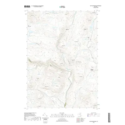
2019 Map of Dutton Mountain
USGS Topo · Published 2019About this map
The Hudson River carves through the heart of this Adirondack landscape, joined by the Boreas River and the OK-Slip Brook near Harris Rift Mtn. This terrain is defined by a series of prominent peaks and water bodies, ranging from the heights of Dutton Mtn and Balfour Mtn to the many ponds that dot the interior, such as Hotwater Pond and Fish Pond. Settlement is sparse, represented by small named locales like Stillwater and Pudding Hollow. Access to these remote reaches is provided by a network of local thoroughfares including Northwoods Club Rd and Moose Pond Club Rd, which service the hunting and recreation camps historically established here. On the northern edge, Aiden Lair stands as a landmark of local travel and history, marking a significant transition point in the high country.
Find a feature on this map
66 named features on this map. Tap any name to fly to it.
Don’t see what you’re looking for? This feature index may not catch every label — zoom into the map to look around manually.
Map Details
Editions of this 2019 Dutton Mountain Map
This is the sole edition of this map. No revisions or reprints were ever made.
Other maps of this area

1895 · North Creek
USGS Topo · 1:62,500

1897 · North Creek
USGS Topo · 1:62,500

1897 · Schroon Lake
USGS Topo · 1:62,500

1898 · Newcomb
USGS Topo · 1:62,500

1898 · Thirteenth Lake
USGS Topo · 1:62,500

1901 · Newcomb
USGS Topo · 1:62,500

1950 · Glens Falls
USGS Topo · 1:250,000

1950 · Utica
USGS Topo · 1:250,000

1953 · Schroon Lake
USGS Topo · 1:62,500

1954 · Newcomb
USGS Topo · 1:62,500