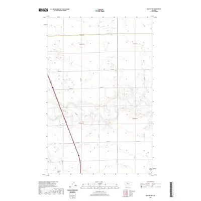
2020 Map of Dutton NW
USGS Topo · Published 2020About this map
The Teton River snakes through the heart of this Teton County landscape, carving a distinct corridor through the agricultural grid of the High Plains. This 2020 survey illustrates the intersection of natural drainage and modern transport, where the meandering river contrasts with the rigid township and range lines of t25n r1w and t26n r1e. The terrain is further defined by deep draws such as Railroad Coulee and Hunt Coulee, which serve as natural breaks in the vast cultivated fields.
Find a feature on this map
19 named features on this map. Tap any name to fly to it.
Don’t see what you’re looking for? This feature index may not catch every label — zoom into the map to look around manually.
Map Details
Editions of this 2020 Dutton NW Map
This is the sole edition of this map. No revisions or reprints were ever made.
Other maps of this area

1886 · Great Falls
USGS Topo · 1:250,000

1920 · Conrad
USGS Topo · 1:125,000

1950 · Dutton
USGS Topo · 1:62,500

1950 · Collins
USGS Topo · 1:62,500

1954 · Great Falls
USGS Topo · 1:250,000

1954 · Shelby
USGS Topo · 1:250,000

1957 · Great Falls
USGS Topo · 1:250,000

1958 · Shelby
USGS Topo · 1:250,000

1967 · Brady
USGS Topo · 1:24,000

1967 · Fowler Coulee SW
USGS Topo · 1:24,000