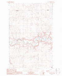
1987 Map of Dutton NW
USGS Topo · Published 1987About this map
The Teton River carves a deeply entrenched, meandering path across this part of the Montana plains, creating a stark contrast to the surrounding high-plateau terrain. This 1987 survey reveals a landscape primarily defined by large-scale agricultural divisions and infrastructure rather than dense settlement. The presence of an Old RR Grade running through the northwestern sections speaks to a shift in the regional transportation network, where former rail lines have given way to modern Pipeline and Trans Line corridors that now traverse the open range.
Find a feature on this map
9 named features on this map. Tap any name to fly to it.
Don’t see what you’re looking for? This feature index may not catch every label — zoom into the map to look around manually.
Map Details
Editions of this 1987 Dutton NW Map
This is the sole edition of this map. No revisions or reprints were ever made.
Other maps of this area

1886 · Great Falls
USGS Topo · 1:250,000

1920 · Conrad
USGS Topo · 1:125,000

1950 · Dutton
USGS Topo · 1:62,500

1950 · Collins
USGS Topo · 1:62,500

1954 · Great Falls
USGS Topo · 1:250,000

1954 · Shelby
USGS Topo · 1:250,000

1957 · Great Falls
USGS Topo · 1:250,000

1958 · Shelby
USGS Topo · 1:250,000

1967 · Brady
USGS Topo · 1:24,000

1967 · Fowler Coulee SW
USGS Topo · 1:24,000