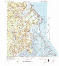
1974 Map of Duxbury
USGS Topo · Published 1978About this map
Historical memory and coastal life intersect at Duxbury, where the 1974 landscape preserves significant landmarks of early Massachusetts. The map identifies the Old Burying Ground (Myles Standish) and the nearby Site of Myles Standish Homestead at Standish Shore, alongside the Myles Standish Monument on Captain Hill. These markers of the Plymouth colony era are surrounded by 20th-century developments, including the Marshfield Municipal Airport and the Marshfield Fairgrounds.
Find a feature on this map
118 named features on this map. Tap any name to fly to it.
Don’t see what you’re looking for? This feature index may not catch every label — zoom into the map to look around manually.
Map Details
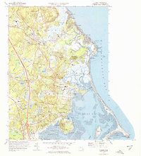
Editions of this 1974 Duxbury Map
2 editions found
Other maps of this area

1885 · Abington
USGS Topo · 1:62,500

1885 · Duxbury
USGS Topo · 1:62,500

1885 · Middleboro
USGS Topo · 1:62,500

1886 · Plymouth
USGS Topo · 1:62,500

1888 · Duxbury
USGS Topo · 1:62,500

1888 · Middleboro
USGS Topo · 1:62,500

1888 · Abington
USGS Topo · 1:62,500

1889 · Plymouth
USGS Topo · 1:62,500

1893 · Abington
USGS Topo · 1:62,500

1893 · Duxbury
USGS Topo · 1:62,500