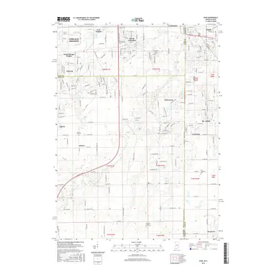
2016 Map of Dyer
USGS Topo · Published 2016About this map
The Illinois Indiana state line serves as the primary meridian for this 2016 survey, where the suburban expansion of Chicago Heights and Sauk Village meets the open agricultural lands and creek valleys of the borderlands. Local history is deeply embedded in the rural landscape through a series of namesake burial grounds, including the Beebe's Grove Cem and Eagle Lake Cem, which speak to the pioneer settlement of the mid-19th century.
Find a feature on this map
75 named features on this map. Tap any name to fly to it.
Don’t see what you’re looking for? This feature index may not catch every label — zoom into the map to look around manually.
Map Details
Editions of this 2016 Dyer Map
This is the sole edition of this map. No revisions or reprints were ever made.
Other maps of this area

1892 · Calumet
USGS Topo · 1:62,500

1893 · Calumet
USGS Topo · 1:62,500

1900 · Toleston
USGS Topo · 1:62,500

1900 · Calumet
USGS Topo · 1:62,500

1901 · Calumet
USGS Topo · 1:62,500

1929 · Calumet City
USGS Topo · 1:24,000

1929 · Harvey
USGS Topo · 1:24,000

1929 · Dyer
USGS Topo · 1:24,000

1930 · Dyer
USGS Topo · 1:24,000

1930 · Steger
USGS Topo · 1:24,000