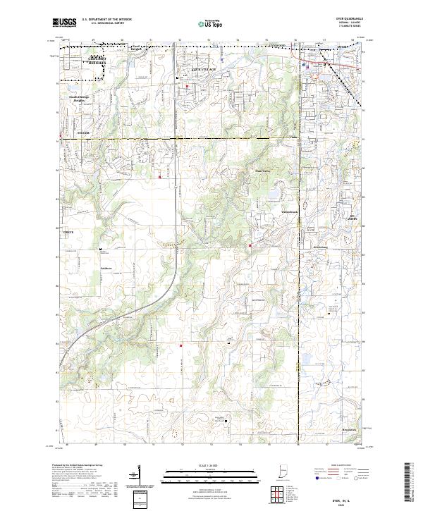
2022 Map of Dyer
USGS Topo · Published 2022About this map
Plum Creek meanders across this landscape where the suburban expansion of the Chicago metropolitan area meets the agricultural heritage of Northwest Indiana. The map shows the dense residential grids of Chicago Heights and Sauk Village in Illinois transitioning into the more varied development patterns of Dyer and St. John in Indiana. This borderland is defined by a significant density of historic cemeteries, including Saint James Catholic Cem and Saint Joseph Cem, which serve as permanent markers of the communities that settled this region.
Find a feature on this map
210 named features on this map. Tap any name to fly to it.
Don’t see what you’re looking for? This feature index may not catch every label — zoom into the map to look around manually.
Map Details
Editions of this 2022 Dyer Map
This is the sole edition of this map. No revisions or reprints were ever made.
Other maps of this area

1892 · Calumet
USGS Topo · 1:62,500

1893 · Calumet
USGS Topo · 1:62,500

1900 · Toleston
USGS Topo · 1:62,500

1900 · Calumet
USGS Topo · 1:62,500

1901 · Calumet
USGS Topo · 1:62,500

1929 · Calumet City
USGS Topo · 1:24,000

1929 · Harvey
USGS Topo · 1:24,000

1929 · Dyer
USGS Topo · 1:24,000

1930 · Dyer
USGS Topo · 1:24,000

1930 · Steger
USGS Topo · 1:24,000