Loading...
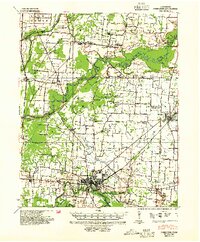
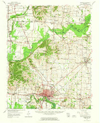
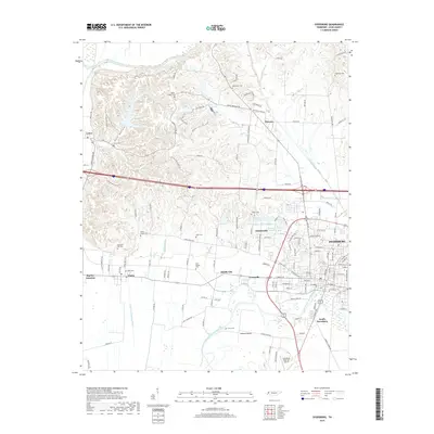
Loading map...1939 Map of Dyersburg
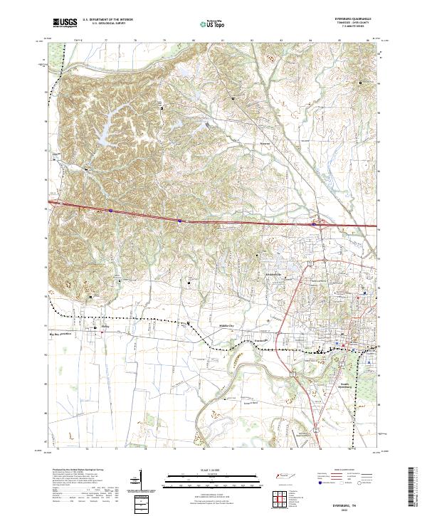
USGS Topo · Published 1954About this map
Dyersburg serves as the focal point of this Northwest Tennessee landscape, situated where the Forked Deer River winds through the southern reaches of the quadrangle. The 1930s era was defined by a complex river system, with the Obion River snaking across the center and the Illinois Central railroad providing the primary industrial artery through Newbern and Finley. The terrain is characterized by an "entire escarpment not contoured," a distinct geographical break separating the river bottoms from the upland plains.
Find a feature on this map
70 named features on this map. Tap any name to fly to it.
Don’t see what you’re looking for? This feature index may not catch every label — zoom into the map to look around manually.
Map Details
Date Portrayed1939
Date Published1954
PublisherU.S. Geological Survey
Map TypeTopographic
Scale1:62,500
Physical Dimensions18.06 x 21.87 inches
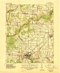
Editions of this 1939 Dyersburg Map
2 editions found
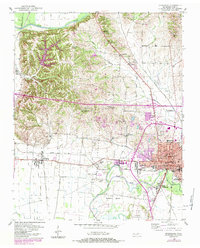
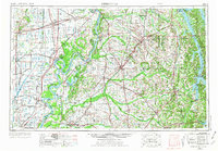
Historical Maps of Dyersburg Through Time
10 maps found

Featured Locations
Source Details
SourceU.S. Geological Survey
CopyrightPublic Domain