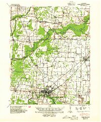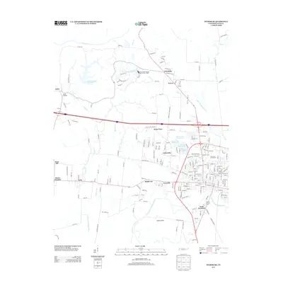
1956 Map of Dyersburg
USGS Topo · Published 1973About this map
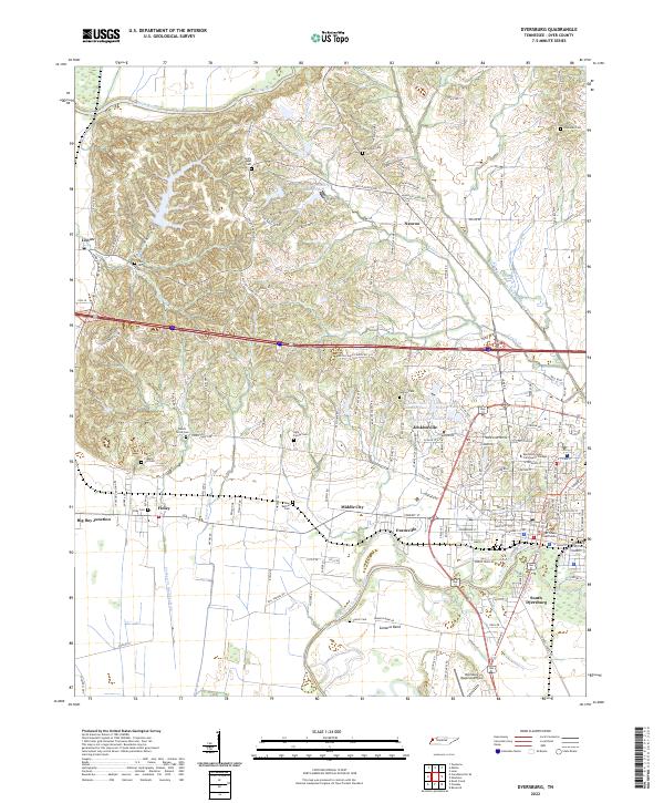
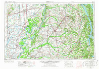
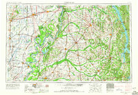
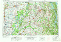
Reelfoot Lake sits as the central landmark of this mid-century landscape, surrounded by the shifting channels and historical anomalies of the Mississippi River, including the distinct Kentucky Bend and Sassafras Ridge. The map documents a critical rail and river junction where the Illinois Central Railroad and Gulf Mobile and Ohio Railroad crisscross the fertile plains of West Tennessee and Western Kentucky. To the east, the massive impoundments of Kentucky Lake and Lake Barkley define the Tennessee River valley, while the western Missouri Bootheel is marked by an intricate drainage system including Lick Cr Ditch and Ditch No 37. From the regional hub of Dyersburg to the commercial centers of Murray and Sikeston, the map captures the transition from bottomland agriculture to the developing reservoir recreation sites at Paris Landing State Park.
Find a feature on this map
391 named features on this map. Tap any name to fly to it.
Don’t see what you’re looking for? This feature index may not catch every label — zoom into the map to look around manually.
Map Details
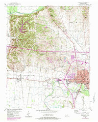
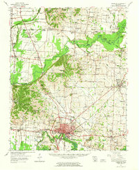
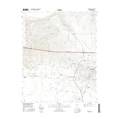
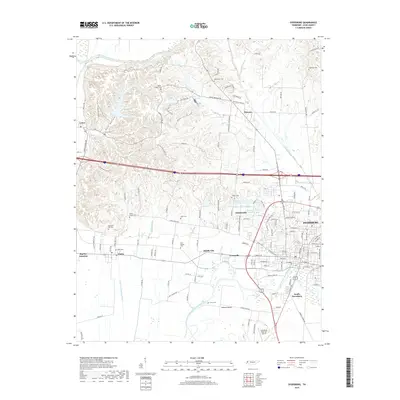
Editions of this 1956 Dyersburg Map
4 editions found

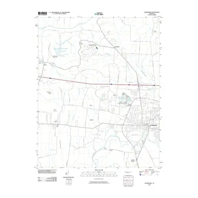
Historical Maps of Dyersburg Through Time
10 maps found