Loading...
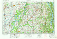
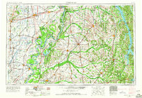
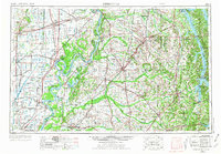
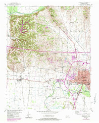
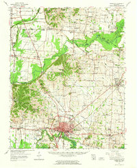
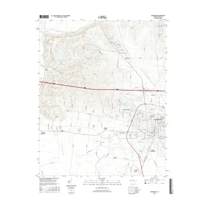
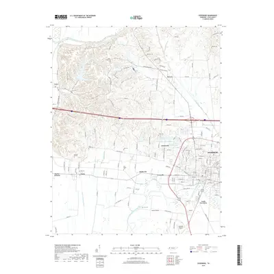
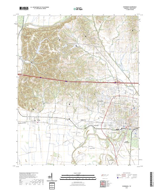
Loading map...1956 Map of Dyersburg
USGS Topo · Published 1973About this map
The confluence of the Mississippi River and Ohio River at Cairo anchors this mid-century survey of the Four Rivers region. During this period of mid-century infrastructure growth, the creation of Kentucky Lake and Lake Barkley fundamentally altered the hydrology of the Tennessee River Valley, creating massive reservoirs that redefined the local economy and recreation. The landscape is a complex intersection of natural features like Reelfoot Lake and the agricultural corridors of the Obion River Valley.
Find a feature on this map
327 named features on this map. Tap any name to fly to it.
Don’t see what you’re looking for? This feature index may not catch every label — zoom into the map to look around manually.
Map Details
Date Portrayed1956
Date Published1973
PublisherU.S. Geological Survey
Map TypeTopographic
Scale1:250,000
Physical Dimensions31.9 x 22.1 inches
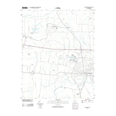
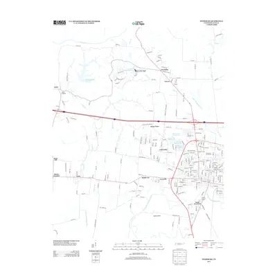
Editions of this 1956 Dyersburg Map
4 editions found

Historical Maps of Dyersburg Through Time
10 maps found

Featured Locations
Source Details
SourceU.S. Geological Survey
CopyrightPublic Domain