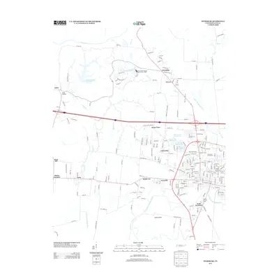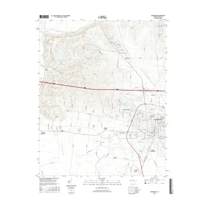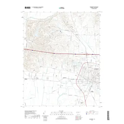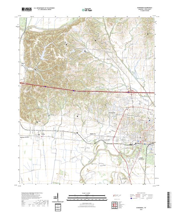
1961 Map of Dyersburg
USGS Topo · Published 1965About this map
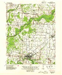
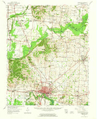
The Forked Deer River and the Obion River define this West Tennessee landscape, where the confluence of water and rail shaped early 1960s development. Centered on Dyersburg, the map reveals a dense network of country churches and schools that served the surrounding agrarian communities, including Cloverdale Sch and Hopewell Sch. The industrial and transport backbone of the region is anchored by the Illinois Central railroad, which links the city to Newbern and smaller junctions like Big Boy Junction.
Find a feature on this map
103 named features on this map. Tap any name to fly to it.
Don’t see what you’re looking for? This feature index may not catch every label — zoom into the map to look around manually.
Map Details
Editions of this 1961 Dyersburg Map
This is the sole edition of this map. No revisions or reprints were ever made.
Historical Maps of Dyersburg Through Time
10 maps found