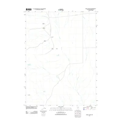
2011 Map of Dyke Canyon
USGS Topo · Published 2011About this map
Dyke and the neighboring Woodward Ranch anchor this landscape in northern Humboldt County, where ranching interests intersect with the geothermal activity of Dyke Hot Springs. The terrain is defined by a series of drainages carving through the high desert, including Murray Canyon, Buckaroo Canyon, and Bishop Canyon, all of which feed into the larger basin area. Water management is a central theme of the geography here, evidenced by Lone Tree Reservoir and several named watercourses like Big Creek and Cherry Creek.
Find a feature on this map
16 named features on this map. Tap any name to fly to it.
Don’t see what you’re looking for? This feature index may not catch every label — zoom into the map to look around manually.
Map Details
Editions of this 2011 Dyke Canyon Map
This is the sole edition of this map. No revisions or reprints were ever made.
Other maps of this area

1886 · Disaster
USGS Topo · 1:250,000

1893 · Disaster
USGS Topo · 1:250,000

1954 · Vya
USGS Topo · 1:250,000

1958 · Vya
USGS Topo · 1:250,000

1961 · Quinn River Crossing
USGS Topo · 1:62,500

1961 · Bottle Creek
USGS Topo · 1:62,500

1962 · Vya
USGS Topo · 1:250,000

1965 · Duffer Peak
USGS Topo · 1:62,500

1972 · Deer Creek Slough
USGS Topo · 1:24,000

1972 · Leonard Cr. Slough North
USGS Topo · 1:24,000