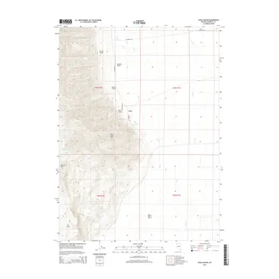
2015 Map of Dyke Canyon
USGS Topo · Published 2015About this map
The Pine Forest Range dominates this portion of Humboldt County, creating a stark contrast between high-elevation terrain and the arid flats of the Black Rock Desert to the southeast. The small settlement of Dyke is situated at the edge of the mountains, positioned near Dyke Canyon and the geothermal waters of Dyke Hot Springs. This geographic arrangement suggests a historic reliance on water sources emerging from the mountain front to support livestock or small-scale habitation in an otherwise thirsty landscape.
Find a feature on this map
23 named features on this map. Tap any name to fly to it.
Don’t see what you’re looking for? This feature index may not catch every label — zoom into the map to look around manually.
Map Details
Editions of this 2015 Dyke Canyon Map
This is the sole edition of this map. No revisions or reprints were ever made.
Other maps of this area

1886 · Disaster
USGS Topo · 1:250,000

1893 · Disaster
USGS Topo · 1:250,000

1954 · Vya
USGS Topo · 1:250,000

1958 · Vya
USGS Topo · 1:250,000

1961 · Quinn River Crossing
USGS Topo · 1:62,500

1961 · Bottle Creek
USGS Topo · 1:62,500

1962 · Vya
USGS Topo · 1:250,000

1965 · Duffer Peak
USGS Topo · 1:62,500

1972 · Deer Creek Slough
USGS Topo · 1:24,000

1972 · Leonard Cr. Slough North
USGS Topo · 1:24,000