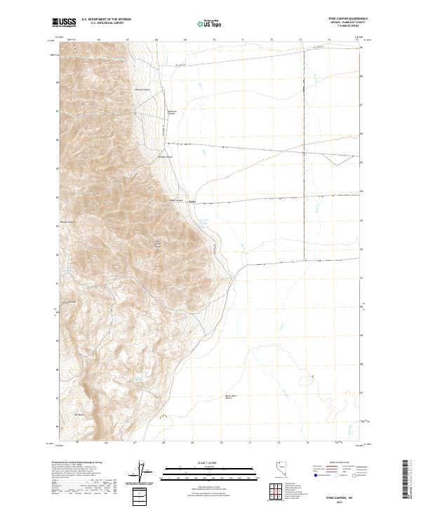
2021 Map of Dyke Canyon
USGS Topo · Published 2021About this map
Sentinel Peak and the high ridges of the Pine Forest Range dominate this northern Nevada landscape, where the terrain drops sharply toward the eastern edge of the Black Rock Desert. The settlement of Dyke sits at the base of the mountains, positioned near the mouth of Dyke Canyon and just north of Dyke Hot Springs. This location represents a classic Great Basin transition point between the elevated water sources of the range and the arid alkali flats below.
Find a feature on this map
23 named features on this map. Tap any name to fly to it.
Don’t see what you’re looking for? This feature index may not catch every label — zoom into the map to look around manually.
Map Details
Editions of this 2021 Dyke Canyon Map
This is the sole edition of this map. No revisions or reprints were ever made.
Other maps of this area

1886 · Disaster
USGS Topo · 1:250,000

1893 · Disaster
USGS Topo · 1:250,000

1954 · Vya
USGS Topo · 1:250,000

1958 · Vya
USGS Topo · 1:250,000

1961 · Quinn River Crossing
USGS Topo · 1:62,500

1961 · Bottle Creek
USGS Topo · 1:62,500

1962 · Vya
USGS Topo · 1:250,000

1965 · Duffer Peak
USGS Topo · 1:62,500

1972 · Deer Creek Slough
USGS Topo · 1:24,000

1972 · Leonard Cr. Slough North
USGS Topo · 1:24,000