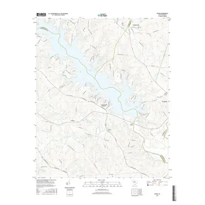
2017 Map of Dyson
USGS Topo · Published 2017About this map
Buzzard Roost and the winding course of the Saluda River define the landscape of this region where four South Carolina counties meet. In this 2017 study, the water's edge is lined with modern developments like Greenwood Shores and residential roads such as Skippers Landing Rd. Despite contemporary growth, the map preserves the locations of numerous historic landmarks vital for genealogical research, including the Cross Roads Cem near Vaughanville and the Bozeman-Scurry Graveyard tucked away near Chappells.
Find a feature on this map
106 named features on this map. Tap any name to fly to it.
Don’t see what you’re looking for? This feature index may not catch every label — zoom into the map to look around manually.
Map Details
Editions of this 2017 Dyson Map
This is the sole edition of this map. No revisions or reprints were ever made.
Other maps of this area

1892 · Abbeville
USGS Topo · 1:125,000

1908 · Kirksey
USGS Topo · 1:24,000

1941 · Spartanburg
USGS Topo · 1:250,000

1949 · Ninety-Six
USGS Topo · 1:24,000

1950 · Kirksey
USGS Topo · 1:24,000

1953 · Spartanburg
USGS Topo · 1:250,000

1954 · Greenville
USGS Topo · 1:250,000

1958 · Greenville
USGS Topo · 1:250,000

1960 · Spartanburg
USGS Topo · 1:250,000

1963 · Spartanburg
USGS Topo · 1:250,000