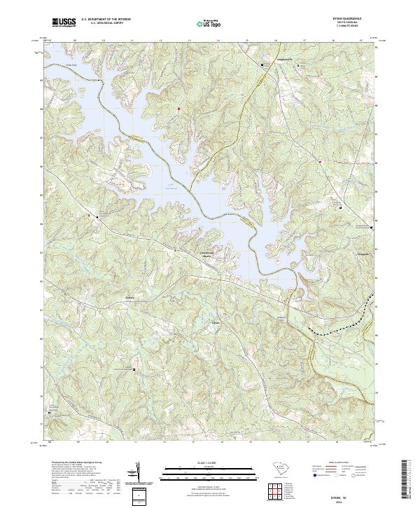
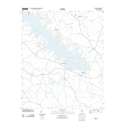
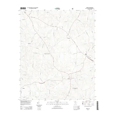
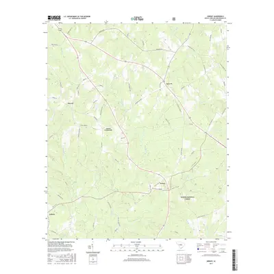
2024 Map of Dyson
USGS Topo · Published 2024About this map
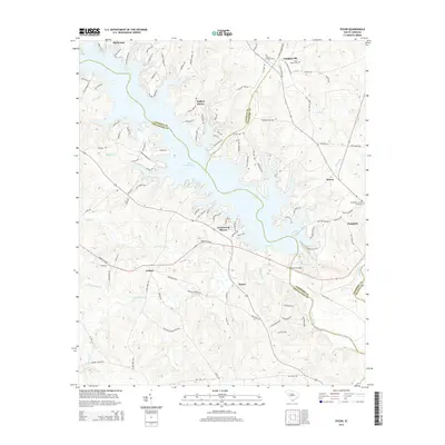
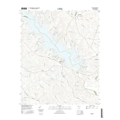
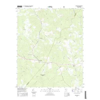
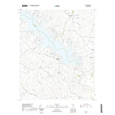
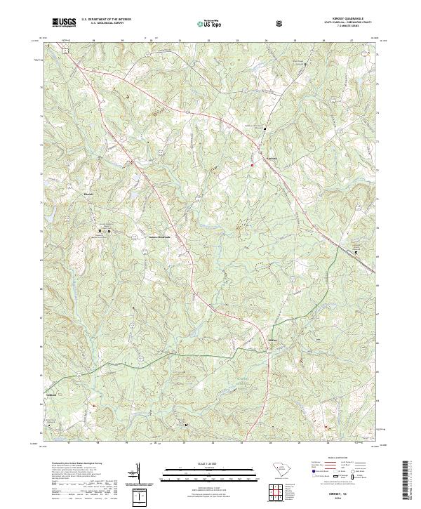
Lake Greenwood dominates the northern landscape of this region, where the borders of Laurens, Greenwood, and Newberry counties meet. The map reveals a transition from the lakeside developments of Greenwood Shores to the agricultural reaches of Godsey and Dyson. Along the banks of the Saluda River, the importance of historical water crossings is evidenced by Anderson Ferry and Chiles Ferry, marking the movement of people and goods before modern bridge networks.
Find a feature on this map
125 named features on this map. Tap any name to fly to it.
Don’t see what you’re looking for? This feature index may not catch every label — zoom into the map to look around manually.
Map Details
Editions of this 2024 Dyson Map
This is the sole edition of this map. No revisions or reprints were ever made.
Historical Maps of P C Jean Through Time
22 maps found

1908 Kirksey
Greenwood County, SC
1949 Ninety-Six
Greenwood County, SC
1950 Kirksey
Greenwood County, SC
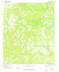
1971 Dyson
Greenwood County, SC
1971 Good Hope
Greenwood County, SC
1978 Kirksey
Greenwood County, SC
1978 Ninety-Six
Greenwood County, SC
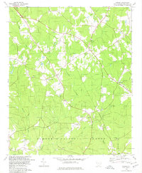
2011 Dyson
Greenwood County, SC
2011 Good Hope
Greenwood County, SC
2011 Kirksey
Greenwood County, SC
2014 Dyson
Greenwood County, SC
2014 Good Hope
Greenwood County, SC
2014 Kirksey
Greenwood County, SC
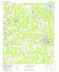
2017 Dyson
Greenwood County, SC
2017 Good Hope
Greenwood County, SC
2017 Kirksey
Greenwood County, SC
2020 Dyson
Greenwood County, SC
2020 Good Hope
Greenwood County, SC
2020 Kirksey
Greenwood County, SC
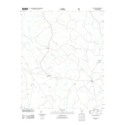
2024 Dyson
Greenwood County, SC
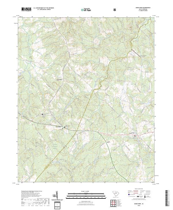
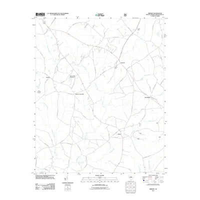
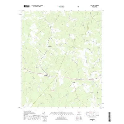
2024 Good Hope
Greenwood County, SC
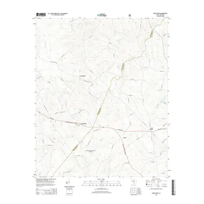
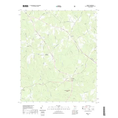
2024 Kirksey
Greenwood County, SC