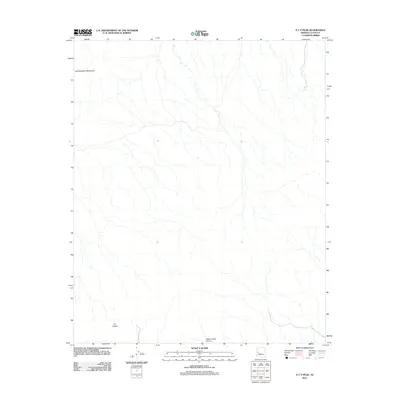
2011 Map of E C P Peak
USGS Topo · Published 2011About this map
E C P Peak stands as a prominent high point within this arid desert landscape in La Paz County, captured during a 2011 United States Geological Survey study. The terrain is defined by the southeastern reaches of the Little Buckskin Mountains, where a complex network of ephemeral washes and drainage patterns suggests a rugged and dry environment. To the south, the deep incision of Happy Camp Canyon cuts through the topography, providing a significant geographic landmark for the area. This survey reflects the modern physical geography of the region, showing the primitive road network and sparse development typical of this portion of the Arizona desert.
Find a feature on this map
3 named features on this map. Tap any name to fly to it.
Don’t see what you’re looking for? This feature index may not catch every label — zoom into the map to look around manually.
Map Details
Editions of this 2011 E C P Peak Map
This is the sole edition of this map. No revisions or reprints were ever made.
Other maps of this area

1923 · Signal
USGS Topo · 1:250,000

1942 · Signal
USGS Topo · 1:250,000

1942 · Vicksburg
USGS Topo · 1:250,000

1950 · Prescott
USGS Topo · 1:250,000

1954 · Prescott
USGS Topo · 1:250,000

1954 · Phoenix
USGS Topo · 1:250,000

1957 · Phoenix
USGS Topo · 1:250,000

1958 · Prescott
USGS Topo · 1:250,000

1958 · Phoenix
USGS Topo · 1:250,000

1959 · Prescott
USGS Topo · 1:250,000