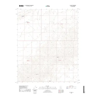
2018 Map of E C P Peak
USGS Topo · Published 2018About this map
Little Buckskin Mountains and the Harcuvar Mountains define the high ground of this western Arizona landscape, where the terrain drops sharply into the expansive Butler Valley. The survey area is dominated by complex topography, with the namesake E C P Peak serving as a primary landmark in the southern reaches. Drainage patterns are clearly etched into the desert floor, most notably through Webber Canyon and the southern Happy Camp Canyon, illustrating the natural conduits of seasonal runoff. This 2018 edition provides precise topographical data for La Paz County, highlighting the remote and arid character of the region. The absence of developed roads or settlements on this sheet reflects a rugged environment primarily defined by its geological formations and desert basins rather than human habitation.
Find a feature on this map
10 named features on this map. Tap any name to fly to it.
Don’t see what you’re looking for? This feature index may not catch every label — zoom into the map to look around manually.
Map Details
Editions of this 2018 E C P Peak Map
This is the sole edition of this map. No revisions or reprints were ever made.
Other maps of this area
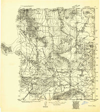
1923 · Signal
USGS Topo · 1:250,000
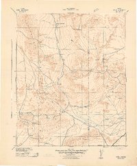
1942 · Signal
USGS Topo · 1:250,000
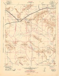
1942 · Vicksburg
USGS Topo · 1:250,000
1950 · Prescott
USGS Topo · 1:250,000
1954 · Prescott
USGS Topo · 1:250,000
1954 · Phoenix
USGS Topo · 1:250,000
1957 · Phoenix
USGS Topo · 1:250,000
1958 · Prescott
USGS Topo · 1:250,000
1958 · Phoenix
USGS Topo · 1:250,000
1959 · Prescott
USGS Topo · 1:250,000