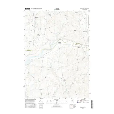
2016 Map of Eagle Bridge
USGS Topo · Published 2016About this map
The Hoosic River winds through this valley landscape, serving as the historical boundary between Washington and Rensselaer counties. The settlement pattern is defined by traditional agricultural hamlets and crossroads, including Eagle Bridge, Buskirk, and Center Cambridge. A notable landmark of local heritage is the Buskirks Covered Bridge, which spans the river near the community of Buskirk. The terrain is marked by distinct elevations such as Nipmoose Hill and numerous water bodies like Echo Lake, Golden Pond, and Thurber Pond. For genealogists and local historians, the presence of the Woodside Cem in West Hoosick and various family-named roads like Goossen Regan Rd and Martindale Way provide specific points of interest for tracing ancestral property and community centers in this part of upstate New York.
Find a feature on this map
93 named features on this map. Tap any name to fly to it.
Don’t see what you’re looking for? This feature index may not catch every label — zoom into the map to look around manually.
Map Details
Editions of this 2016 Eagle Bridge Map
This is the sole edition of this map. No revisions or reprints were ever made.
Other maps of this area

1893 · Cohoes
USGS Topo · 1:62,500

1895 · Cohoes
USGS Topo · 1:62,500

1895 · Cambridge
USGS Topo · 1:62,500

1897 · Hoosick
USGS Topo · 1:62,500

1898 · Cambridge
USGS Topo · 1:62,500

1898 · Cohoes
USGS Topo · 1:62,500

1900 · Taconic
USGS Topo · 1:125,000

1900 · Schuylerville
USGS Topo · 1:62,500

1901 · Cambridge
USGS Topo · 1:62,500

1903 · Mettawee
USGS Topo · 1:125,000