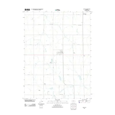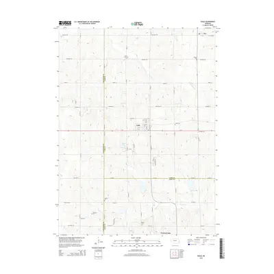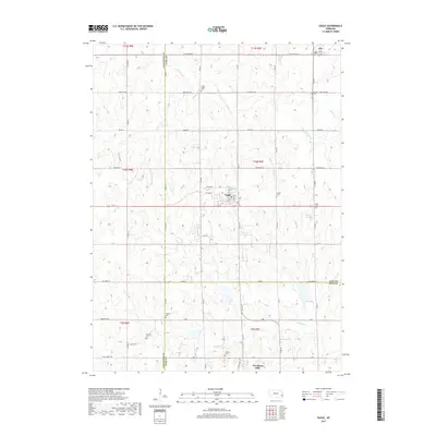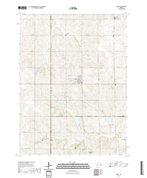
1966 Map of Eagle
USGS Topo · Published 1967About this map
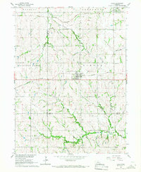
The village of Eagle and the community of Alvo serve as the primary hubs in this mid-1960s study of the eastern Nebraska plains. This survey documents a landscape defined by the intersection of the Chicago and Pacific, Missouri Pacific, and Rock Island railroads, highlighting the area's importance as a transit corridor. The map is particularly rich for genealogical research, identifying numerous family and community burial grounds including Camp Creek Cem, Dunkers Cem, Wright Cem, and Eagle Cem.
Find a feature on this map
29 named features on this map. Tap any name to fly to it.
Don’t see what you’re looking for? This feature index may not catch every label — zoom into the map to look around manually.
Map Details
Editions of this 1966 Eagle Map
This is the sole edition of this map. No revisions or reprints were ever made.
Historical Maps of Eagle Through Time
5 maps found