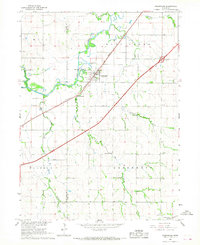
1966 Map of Greenwood
USGS Topo · Published 1967About this map
The village of Greenwood sits at a geographic crossroads in eastern Nebraska where the Chicago Burlington and Quincy railroad intersects the meandering course of Salt Creek. This 1966 survey documents a landscape defined by the convergence of rail and water, with a notable concentration of rural infrastructure including School No 81 and a Gaging Station along the creek banks. The map captures a transition in regional transportation as Interstate 80 carves a diagonal path across the township, paralleling the older rail lines that once anchored the local economy.
Find a feature on this map
23 named features on this map. Tap any name to fly to it.
Don’t see what you’re looking for? This feature index may not catch every label — zoom into the map to look around manually.
Map Details
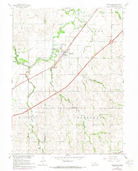
Editions of this 1966 Greenwood Map
2 editions found
Other maps of this area

1893 · Fremont
USGS Topo · 1:125,000

1896 · Fremont
USGS Topo · 1:125,000

1897 · Lincoln
USGS Topo · 1:125,000

1899 · Wahoo
USGS Topo · 1:125,000

1903 · Weeping Water
USGS Topo · 1:125,000

1929 · Weeping Water
USGS Topo · 1:125,000

1955 · Fremont
USGS Topo · 1:250,000

1955 · Lincoln
USGS Topo · 1:250,000

1957 · Fremont
USGS Topo · 1:250,000

1957 · Lincoln
USGS Topo · 1:250,000