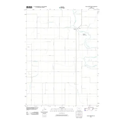
2010 Map of Eagle Grove SW
USGS Topo · Published 2010About this map
The Boone River meanders through the eastern section of this landscape, defining a corridor of natural terrain amidst a strictly organized agricultural grid. This area, located near the settlement of Newark, showcases the extensive water management systems essential to Iowa farming, with numerous engineered waterways such as Ditch Number 49, Ditch Number 13, and the multi-segment Lateral Number 1. These features illustrate how the prairie was systematically drained and partitioned for high-yield agriculture during the twentieth century.
Find a feature on this map
42 named features on this map. Tap any name to fly to it.
Don’t see what you’re looking for? This feature index may not catch every label — zoom into the map to look around manually.
Map Details
Editions of this 2010 Eagle Grove SW Map
This is the sole edition of this map. No revisions or reprints were ever made.
Other maps of this area

1923 · Lehigh
USGS Topo · 1:62,500

1923 · Fort Dodge
USGS Topo · 1:62,500

1954 · Waterloo
USGS Topo · 1:250,000

1954 · Fort Dodge
USGS Topo · 1:250,000

1955 · Waterloo
USGS Topo · 1:250,000

1957 · Fort Dodge
USGS Topo · 1:250,000

1958 · Fort Dodge
USGS Topo · 1:250,000

1965 · Evanston
USGS Topo · 1:24,000

1978 · Holmes
USGS Topo · 1:24,000

1978 · Woolstock
USGS Topo · 1:24,000