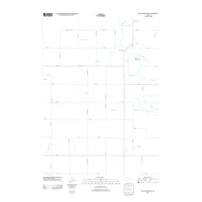
2013 Map of Eagle Grove SW
USGS Topo · Published 2013About this map
The Boone River meanders through the eastern portion of this landscape, defining the rural character of the area just south of Eagle Grove. In 2013, the river corridor remains a focal point for recreation and conservation, marked by the Boone River Green Belt - Middleton Access. The surrounding terrain is heavily modified for agriculture, illustrated by an extensive network of drainage infrastructure including Ditch Number 94, Ditch Number 49, and Lateral Number 1.
Find a feature on this map
45 named features on this map. Tap any name to fly to it.
Don’t see what you’re looking for? This feature index may not catch every label — zoom into the map to look around manually.
Map Details
Editions of this 2013 Eagle Grove SW Map
This is the sole edition of this map. No revisions or reprints were ever made.
Other maps of this area

1923 · Lehigh
USGS Topo · 1:62,500

1923 · Fort Dodge
USGS Topo · 1:62,500

1954 · Waterloo
USGS Topo · 1:250,000

1954 · Fort Dodge
USGS Topo · 1:250,000

1955 · Waterloo
USGS Topo · 1:250,000

1957 · Fort Dodge
USGS Topo · 1:250,000

1958 · Fort Dodge
USGS Topo · 1:250,000

1965 · Evanston
USGS Topo · 1:24,000

1978 · Holmes
USGS Topo · 1:24,000

1978 · Woolstock
USGS Topo · 1:24,000