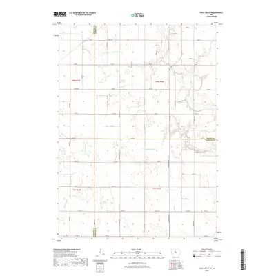
2018 Map of Eagle Grove SW
USGS Topo · Published 2018About this map
The confluence of agricultural engineering and natural hydrology defines this corner of North Central Iowa, where three counties converge. The northeast corner is dominated by the Boone River as it winds through the landscape, flanked by the Troy Cem and fed by Brewers Cr. This survey illustrates the extensive drainage infrastructure vital to the region's farming heritage, featuring a complex network of numbered waterways including Ditch Number 49, Ditch Number 46, and Ditch Number 86. The rectilinear road grid, marked by thoroughfares such as Co HWY c56 and Yankee Ave, reveals the systematic land division at the borders of Webster, Wright, and Hamilton Counties. For those tracing rural family roots, the map provides a precise layout of the township sections and the location of the local burial grounds near the river valley.
Find a feature on this map
54 named features on this map. Tap any name to fly to it.
Don’t see what you’re looking for? This feature index may not catch every label — zoom into the map to look around manually.
Map Details
Editions of this 2018 Eagle Grove SW Map
This is the sole edition of this map. No revisions or reprints were ever made.
Other maps of this area

1923 · Lehigh
USGS Topo · 1:62,500

1923 · Fort Dodge
USGS Topo · 1:62,500

1954 · Waterloo
USGS Topo · 1:250,000

1954 · Fort Dodge
USGS Topo · 1:250,000

1955 · Waterloo
USGS Topo · 1:250,000

1957 · Fort Dodge
USGS Topo · 1:250,000

1958 · Fort Dodge
USGS Topo · 1:250,000

1965 · Evanston
USGS Topo · 1:24,000

1978 · Holmes
USGS Topo · 1:24,000

1978 · Woolstock
USGS Topo · 1:24,000