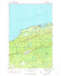
1946 Map of Eagle Harbor
USGS Topo · Published 1976About this map
The rocky Keweenaw coastline at Eagle Harbor serves as a focal point for this survey, which captures the industrial and maritime heritage of Michigan's northernmost peninsula. Originally mapped in the 1940s and photorevised in the mid-1970s, the landscape reveals a transition from active copper mining towards recreation and conservation. The interior is defined by rugged relief, featuring Eagle Mountain and Madison Gap, while traces of the area's extraction history remain visible through the Old Railroad Grade and the settlement at Central.
Find a feature on this map
38 named features on this map. Tap any name to fly to it.
Don’t see what you’re looking for? This feature index may not catch every label — zoom into the map to look around manually.
Map Details
Editions of this 1946 Eagle Harbor Map

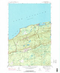
Other maps of this area

1938 · Bruneau Creek
USGS Topo · 1:31,680

1938 · Delaware
USGS Topo · 1:31,680

1939 · Deer Lake
USGS Topo · 1:31,680

1939 · Delaware
USGS Topo · 1:31,680

1940 · Deer Lake
USGS Topo · 1:31,680

1940 · Central
USGS Topo · 1:31,680

1941 · Mohawk
USGS Topo · 1:31,680

1946 · Phoenix
USGS Topo · 1:24,000

1946 · Bruneau Creek
USGS Topo · 1:24,000

1946 · Mohawk
USGS Topo · 1:24,000
Featured Places
- Eagle Harbor, MI
- Houghton Township, MI
- Nepco Camp Number 7, MI
- Copper Falls, MI
- Eagle Harbor Township, MI