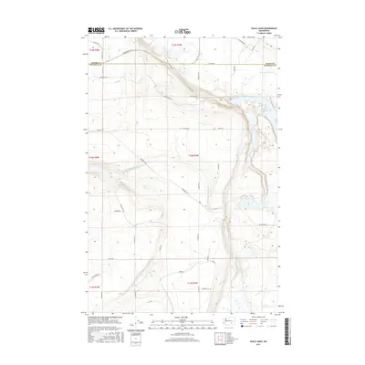
2017 Map of Eagle Lakes
USGS Topo · Published 2017About this map
The boundary between Adams Co Franklin Co cuts across this high desert landscape, which is defined by the critical infrastructure of the Columbia Basin Project. The movement of water is the primary feature of this terrain, anchored by the Wahluke Siphon and the Wahluke Branch Canal. These engineering works facilitate agriculture in an otherwise arid region, where the elevation drops toward the complex of the Eagle Lakes in the eastern portion of the map. A rigid grid of rural roads, including Sagehill Rd and Hendricks Rd, segments the land into large parcels typical of late 20th-century irrigation development. For researchers, the map provides a clear view of how topographic features like Radar Hill Rd influenced the placement of service routes such as Pump Access Rd and Timmons Rd.
Find a feature on this map
30 named features on this map. Tap any name to fly to it.
Don’t see what you’re looking for? This feature index may not catch every label — zoom into the map to look around manually.
Map Details
Editions of this 2017 Eagle Lakes Map
This is the sole edition of this map. No revisions or reprints were ever made.
Other maps of this area

1923 · Corfu
USGS Topo · 1:62,500

1924 · Othello
USGS Topo · 1:62,500

1924 · Hanford
USGS Topo · 1:62,500

1925 · Scooteney Lake
USGS Topo · 1:62,500

1951 · Scooteney Lake
USGS Topo · 1:62,500

1951 · Corfu
USGS Topo · 1:62,500

1951 · Hanford
USGS Topo · 1:62,500

1953 · Walla Walla
USGS Topo · 1:250,000

1954 · Bruce
USGS Topo · 1:24,000

1954 · Othello
USGS Topo · 1:24,000