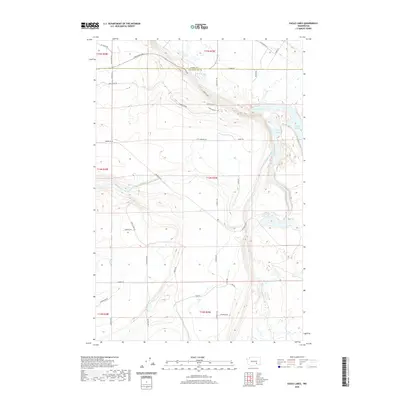
2020 Map of Eagle Lakes
USGS Topo · Published 2020About this map
Eagle Lakes and the expansive irrigation infrastructure of the Columbia Basin define this landscape along the border of Adams County and Franklin County. This 2020 survey illustrates a complex network of water management, centered on the Wahluke Branch Canal and the Wahluke Br Ten Wasteway. These features are critical to the agricultural productivity of the region, where water is diverted across the arid plateau to support local farming operations. The human footprint is further marked by a geometric grid of rural roads, including Sagehill Rd and Radar Hill Rd, alongside residential developments such as Radar Heights Dr. The terrain is characterized by the distinct coulees and depressions typical of this part of Washington, with the lakes themselves serving as a prominent geographical anchor amidst the engineered waterways.
Find a feature on this map
33 named features on this map. Tap any name to fly to it.
Don’t see what you’re looking for? This feature index may not catch every label — zoom into the map to look around manually.
Map Details
Editions of this 2020 Eagle Lakes Map
This is the sole edition of this map. No revisions or reprints were ever made.
Other maps of this area

1923 · Corfu
USGS Topo · 1:62,500

1924 · Othello
USGS Topo · 1:62,500

1924 · Hanford
USGS Topo · 1:62,500

1925 · Scooteney Lake
USGS Topo · 1:62,500

1951 · Scooteney Lake
USGS Topo · 1:62,500

1951 · Corfu
USGS Topo · 1:62,500

1951 · Hanford
USGS Topo · 1:62,500

1953 · Walla Walla
USGS Topo · 1:250,000

1954 · Bruce
USGS Topo · 1:24,000

1954 · Othello
USGS Topo · 1:24,000