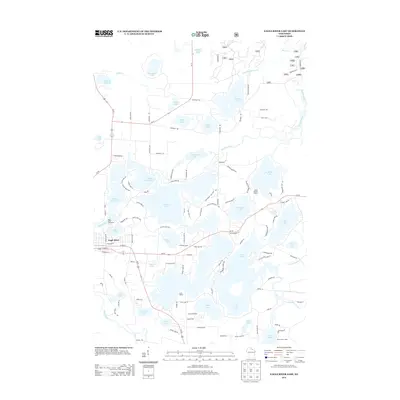
2013 Map of Eagle River East
USGS Topo · Published 2013About this map
Eagle River serves as the focal point of this lakeside landscape, where residential development meets an intricate network of waterways and summer camps. The area is defined by its recreation-driven geography, featuring established retreats such as Camp Ojibwa, Camp Marimeta, and Camp Hidden Hollow. The map illustrates a high density of named water bodies, including the sprawling Voyageur Lake, Yellow Birch Lake, and the winding course of the Deerskin River.
Find a feature on this map
118 named features on this map. Tap any name to fly to it.
Don’t see what you’re looking for? This feature index may not catch every label — zoom into the map to look around manually.
Map Details
Editions of this 2013 Eagle River East Map
This is the sole edition of this map. No revisions or reprints were ever made.
Other maps of this area

1928 · Three Lakes
USGS Topo · 1:48,000

1930 · Robbins
USGS Topo · 1:48,000

1938 · Phelps
USGS Topo · 1:48,000

1938 · Three Lakes
USGS Topo · 1:48,000

1938 · Robbins
USGS Topo · 1:48,000

1945 · Three Lakes
USGS Topo · 1:48,000

1945 · Robbins
USGS Topo · 1:48,000

1946 · Star Lake
USGS Topo · 1:48,000

1950 · Phelps
USGS Topo · 1:48,000

1950 · Star Lake
USGS Topo · 1:48,000