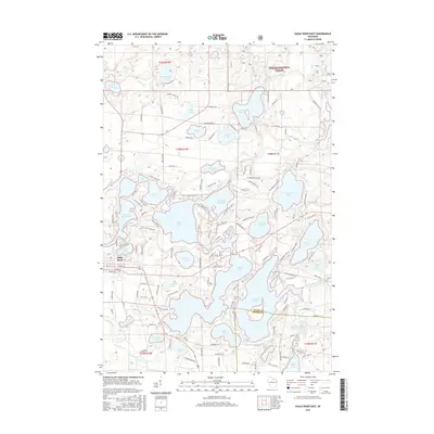
2015 Map of Eagle River East
USGS Topo · Published 2015About this map
Eagle River anchors this 2015 survey, which details a landscape dominated by a complex network of glacial lakes and waterways at the border of Vilas and Oneida counties. The western portion of the Nicolet National Forest covers the northeast, where the Little Deerskin River and Sucker Cr feed into a series of larger basins. The hydrologic connectivity of the region is evident in the chain including Scattering Rice Lake, Eagle Lake, and Catfish Lake, which are separated by narrow peninsulas and connected by navigable channels.
Find a feature on this map
144 named features on this map. Tap any name to fly to it.
Don’t see what you’re looking for? This feature index may not catch every label — zoom into the map to look around manually.
Map Details
Editions of this 2015 Eagle River East Map
This is the sole edition of this map. No revisions or reprints were ever made.
Other maps of this area

1928 · Three Lakes
USGS Topo · 1:48,000

1930 · Robbins
USGS Topo · 1:48,000

1938 · Phelps
USGS Topo · 1:48,000

1938 · Three Lakes
USGS Topo · 1:48,000

1938 · Robbins
USGS Topo · 1:48,000

1945 · Three Lakes
USGS Topo · 1:48,000

1945 · Robbins
USGS Topo · 1:48,000

1946 · Star Lake
USGS Topo · 1:48,000

1950 · Phelps
USGS Topo · 1:48,000

1950 · Star Lake
USGS Topo · 1:48,000