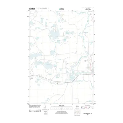
2010 Map of Eagle River West
USGS Topo · Published 2010About this map
The Wisconsin River snakes through this Northwoods landscape, defining a region dominated by glacial lakes and wetlands in Oneida County. Infrastructure is centered around the Eagle River Union Airport and the Otter Rapids 1905c483 Dam, which regulates the river's flow downstream from Watersmeet Lake. This 2010 survey highlights a density of recreational and natural water bodies, including Boot Lake, Muskellunge Lake, and the smaller Tepee Lake. The drainage patterns of Pickerel Creek and Rice Creek connect these basins, while the Otter Rapids Golf Course marks a significant developed landmark along the riverbank. This map captures the modern layout of the region, where seasonal tourism and aviation intersect with the preservation of numerous named lakes such as Snipe Lake and Nelson Lake.
Find a feature on this map
40 named features on this map. Tap any name to fly to it.
Don’t see what you’re looking for? This feature index may not catch every label — zoom into the map to look around manually.
Map Details
Editions of this 2010 Eagle River West Map
This is the sole edition of this map. No revisions or reprints were ever made.
Other maps of this area

1928 · Three Lakes
USGS Topo · 1:48,000

1930 · Robbins
USGS Topo · 1:48,000

1938 · Phelps
USGS Topo · 1:48,000

1938 · Three Lakes
USGS Topo · 1:48,000

1938 · Robbins
USGS Topo · 1:48,000

1945 · Three Lakes
USGS Topo · 1:48,000

1945 · Robbins
USGS Topo · 1:48,000

1946 · Star Lake
USGS Topo · 1:48,000

1950 · Phelps
USGS Topo · 1:48,000

1950 · Star Lake
USGS Topo · 1:48,000