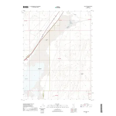
2018 Map of Eagle Rock
USGS Topo · Published 2018About this map
Eagle Salt Works Spring sits at the northern edge of this arid landscape, a reminder of the industrial history that once thrived in the Nevada desert. The map captures a transition where the sprawling Fernley area meets the unforgiving Fortymile Desert. To the east, the Hot Springs Mountains rise from the valley floor, while the southern reaches are dominated by the Fernley Sink, a natural low point where water occasionally gathers. The boundary between Lyon and Churchill counties cuts diagonally across the western portion of the sheet, intersecting the high-speed corridors of Interstate 80 and the railroad. These transportation lines follow the edge of Miry Place Canyon, tracing a route through the foothills beneath Eagle Rock.
Find a feature on this map
9 named features on this map. Tap any name to fly to it.
Don’t see what you’re looking for? This feature index may not catch every label — zoom into the map to look around manually.
Map Details
Editions of this 2018 Eagle Rock Map
This is the sole edition of this map. No revisions or reprints were ever made.
Other maps of this area

1890 · Wadsworth
USGS Topo · 1:125,000

1892 · Wadsworth
USGS Topo · 1:125,000

1894 · Wadsworth
USGS Topo · 1:125,000

1908 · Carson Sink
USGS Topo · 1:250,000

1910 · Carson Sink
USGS Topo · 1:250,000

1951 · Soda Lake
USGS Topo · 1:62,500

1951 · Desert Peak
USGS Topo · 1:62,500

1957 · Fireball Ridge
USGS Topo · 1:62,500

1957 · Two Tips
USGS Topo · 1:62,500

1957 · Reno
USGS Topo · 1:250,000