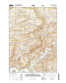
2014 Map of Eagle Rock
USGS Topo · Published 2014About this map
Eagle Rock stands as a prominent landmark overlooking the high desert terrain of central Oregon, where the winding Crooked River feeds into the northern reaches of the Prineville Reservoir. This 2014 survey documents the complex interface between public lands and rural development, notably along the southwestern edge of the Ochoco National Forest. The landscape is defined by several ephemeral drainages including Dry Cr, Eagle Cr, and Owl Cr, which carve through the plateaus near Combs Flat and Long Hollow.
Find a feature on this map
49 named features on this map. Tap any name to fly to it.
Don’t see what you’re looking for? This feature index may not catch every label — zoom into the map to look around manually.
Map Details
Editions of this 2014 Eagle Rock Map
This is the sole edition of this map. No revisions or reprints were ever made.
Other maps of this area

1946 · Eagle Rock
USGS Topo · 1:62,500

1948 · Eagle Rock
USGS Topo · 1:62,500

1948 · Ochoco Reservoir
USGS Topo · 1:62,500

1950 · Ochoco Reservoir
USGS Topo · 1:62,500

1955 · Bend
USGS Topo · 1:250,000

1957 · Bend
USGS Topo · 1:250,000

1958 · Bend
USGS Topo · 1:250,000

1962 · Prineville
USGS Topo · 1:24,000

1962 · Powell Buttes
USGS Topo · 1:62,500

1962 · Prineville
USGS Topo · 1:62,500