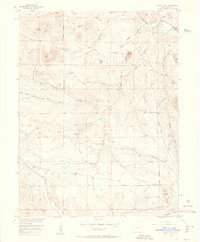
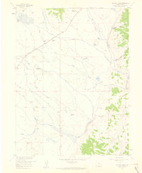
1956 Map of Eagle Rock
USGS Topo · Published 1957About this map
Pike National Forest dominates this mid-century topographical landscape in Park County, Colorado, where the high-altitude terrain is defined by dramatic peaks and deep gulches. The survey reveals a network of natural springs and seasonal drainage patterns, such as Berkey Spring, Harriman Spring, and the uniquely named Inbetween Spring. These water sources feed into a complex system of valleys, including Turner Gulch and Ruby Gulch, which eventually reach Tarryall Creek in the northeast.
Find a feature on this map
20 named features on this map. Tap any name to fly to it.
Don’t see what you’re looking for? This feature index may not catch every label — zoom into the map to look around manually.
Map Details
Editions of this 1956 Eagle Rock Map
5 editions found
Other maps of this area

1937 · Como
USGS Topo · 1:62,500

1953 · Denver
USGS Topo · 1:250,000

1956 · Eagle Rock
USGS Topo · 1:24,000

1956 · Elkhorn
USGS Topo · 1:24,000

1956 · Sulphur Mountain
USGS Topo · 1:24,000

1956 · Farnum Peak
USGS Topo · 1:24,000

1956 · Hartsel
USGS Topo · 1:24,000

1956 · Glentivar
USGS Topo · 1:24,000

1957 · Denver
USGS Topo · 1:250,000
1957 · Milligan Lakes
USGS Topo · 1:24,000