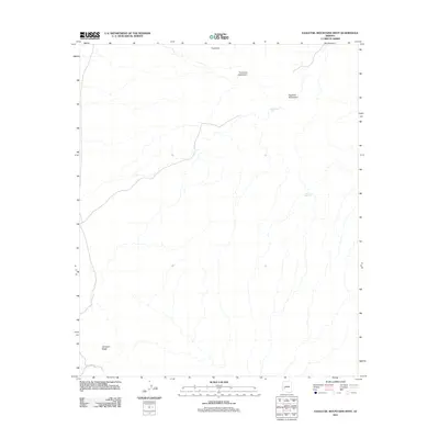
2011 Map of Eagletail Mountains West
USGS Topo · Published 2011About this map
The Eagletail Mountains define this arid landscape in La Paz County, where water management is the primary marker of human presence. Scattered catchments and tanks, such as Triple Eye Catchment and Dead Deer Tank, indicate the essential infrastructure required for survival and livestock in the Arizona desert. The topography is anchored by distinct geological formations, including the peak known as Triple Eye and the southern rise of Cemetery Ridge.
Find a feature on this map
7 named features on this map. Tap any name to fly to it.
Don’t see what you’re looking for? This feature index may not catch every label — zoom into the map to look around manually.
Map Details
Editions of this 2011 Eagletail Mountains West Map
This is the sole edition of this map. No revisions or reprints were ever made.
Other maps of this area

1942 · Vicksburg
USGS Topo · 1:250,000

1954 · Phoenix
USGS Topo · 1:250,000

1957 · Phoenix
USGS Topo · 1:250,000

1958 · Phoenix
USGS Topo · 1:250,000

1960 · Phoenix
USGS Topo · 1:250,000

1961 · Hope
USGS Topo · 1:62,500

1961 · Lone Mountain
USGS Topo · 1:62,500

1962 · Little Horn Mts
USGS Topo · 1:62,500

1962 · Eagletail Mts
USGS Topo · 1:62,500

1969 · Phoenix
USGS Topo · 1:250,000