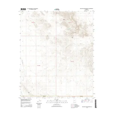
2014 Map of Eagletail Mountains West
USGS Topo · Published 2014About this map
Eagletail Mountains rise sharply in this arid portion of the Sonoran desert, where the landscape is defined by its seasonal water sources and distinct geological formations. The northern sections are punctuated by features like Triple Eye and the Triple Eye Catchment, alongside the notably named Dead Deer Tank. These catchment systems and the isolated Indian Spring illustrate the essential infrastructure for managing water in a high-heat environment. To the south, Cem Ridge and the winding Deadman Wash mark the transition toward the county line, while the presence of a Natural Arch suggests a terrain shaped by intense erosion. The Palomas Harquahala Rd provides the primary transit corridor through this remote territory, which straddles the boundary of La Paz and Yuma Counties.
Find a feature on this map
16 named features on this map. Tap any name to fly to it.
Don’t see what you’re looking for? This feature index may not catch every label — zoom into the map to look around manually.
Map Details
Editions of this 2014 Eagletail Mountains West Map
This is the sole edition of this map. No revisions or reprints were ever made.
Other maps of this area

1942 · Vicksburg
USGS Topo · 1:250,000

1954 · Phoenix
USGS Topo · 1:250,000

1957 · Phoenix
USGS Topo · 1:250,000

1958 · Phoenix
USGS Topo · 1:250,000

1960 · Phoenix
USGS Topo · 1:250,000

1961 · Hope
USGS Topo · 1:62,500

1961 · Lone Mountain
USGS Topo · 1:62,500

1962 · Little Horn Mts
USGS Topo · 1:62,500

1962 · Eagletail Mts
USGS Topo · 1:62,500

1969 · Phoenix
USGS Topo · 1:250,000