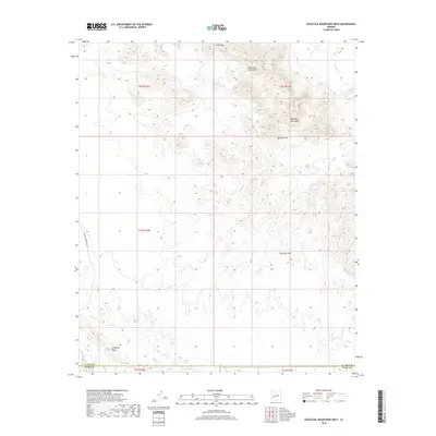
2018 Map of Eagletail Mountains West
USGS Topo · Published 2018About this map
Eagletail Mountains dominate this arid landscape, where geological formations and isolated water sources define the territory. The survey reveals a region shaped by natural landmarks such as Natural Arch and the prominent Cemetery Ridge, which marks the southern reach of the quadrangle. Hydrological features like Triple Eye Catchment and Indian Spring indicate the critical locations of water in this desert environment, while Deadman Wash drains the southwestern corner near the border of La Paz and Yuma counties. This 2018 edition provides a precise view of the terrain as it appeared in the early 21st century, showing Palomas Harquahala Rd as a primary corridor through the western sections. The map serves as a detailed record of the public land survey system, including townships such as t2n r12w and t1n r11w.
Find a feature on this map
15 named features on this map. Tap any name to fly to it.
Don’t see what you’re looking for? This feature index may not catch every label — zoom into the map to look around manually.
Map Details
Editions of this 2018 Eagletail Mountains West Map
This is the sole edition of this map. No revisions or reprints were ever made.
Other maps of this area

1942 · Vicksburg
USGS Topo · 1:250,000

1954 · Phoenix
USGS Topo · 1:250,000

1957 · Phoenix
USGS Topo · 1:250,000

1958 · Phoenix
USGS Topo · 1:250,000

1960 · Phoenix
USGS Topo · 1:250,000

1961 · Hope
USGS Topo · 1:62,500

1961 · Lone Mountain
USGS Topo · 1:62,500

1962 · Little Horn Mts
USGS Topo · 1:62,500

1962 · Eagletail Mts
USGS Topo · 1:62,500

1969 · Phoenix
USGS Topo · 1:250,000