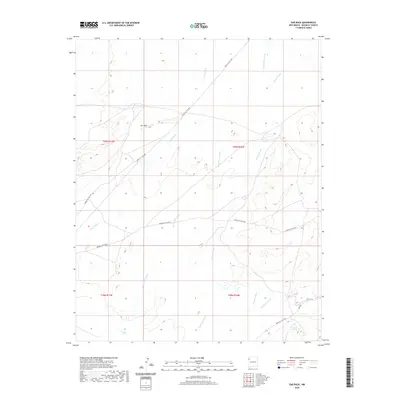
2020 Map of Ear Rock
USGS Topo · Published 2020About this map
Ear Rock stands as a prominent landmark in this high-desert landscape of McKinley County, defined by an intricate network of seasonal drainages. The terrain is deeply inscribed by several major washes, including Tocito Wash, Red Willow Wash, and Coyote Wash, which serve as the primary topographical features of the region. A series of Bureau of Indian Affairs routes, such as Indian Svc Rte 9657 and Indian Svc Rte 9653, cross the land, tracing the movement of people across the Fort Defiance Agency. Hydrological markers like Big Thumb Spring and Soft Water Wash highlight the critical role of water sources in this arid environment, while Figueredo Wash cuts through the southern portion of the quadrangle.
Find a feature on this map
17 named features on this map. Tap any name to fly to it.
Don’t see what you’re looking for? This feature index may not catch every label — zoom into the map to look around manually.
Map Details
Editions of this 2020 Ear Rock Map
This is the sole edition of this map. No revisions or reprints were ever made.
Other maps of this area

1886 · Wingate
USGS Topo · 1:250,000

1889 · Chaco
USGS Topo · 1:250,000

1892 · Wingate
USGS Topo · 1:250,000

1892 · Chaco
USGS Topo · 1:250,000

1954 · Shiprock
USGS Topo · 1:250,000

1954 · Gallup
USGS Topo · 1:250,000

1958 · Gallup
USGS Topo · 1:250,000

1958 · Shiprock
USGS Topo · 1:250,000

1959 · Shiprock
USGS Topo · 1:250,000

1959 · Gallup
USGS Topo · 1:250,000