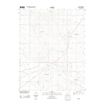
2013 Map of Earl
USGS Topo · Published 2013About this map
The Purgatoire River carves through this Las Animas County landscape, dictating the placement of an intricate network of irrigation channels like the Model Ditch and Hoehne Ditch. Near the center of the sheet, the settlement of Earl sits along the rail line, representing the transition from river-bottom ranching to high-plains transport. The presence of both the Bloom Cem and Wilcox Cem provides valuable location data for genealogists tracing early families in this stretch of Southern Colorado.
Find a feature on this map
44 named features on this map. Tap any name to fly to it.
Don’t see what you’re looking for? This feature index may not catch every label — zoom into the map to look around manually.
Map Details
Editions of this 2013 Earl Map
This is the sole edition of this map. No revisions or reprints were ever made.
Other maps of this area

1892 · Elmoro
USGS Topo · 1:125,000

1893 · Elmoro
USGS Topo · 1:125,000

1897 · Elmoro
USGS Topo · 1:125,000

1954 · Trinidad
USGS Topo · 1:250,000

1955 · Trinidad
USGS Topo · 1:250,000

1958 · Trinidad
USGS Topo · 1:250,000

1959 · Trinidad
USGS Topo · 1:250,000
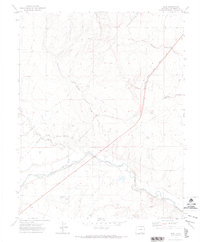
1970 · Earl
USGS Topo · 1:24,000
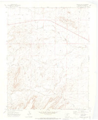
1970 · Mooney Hills
USGS Topo · 1:24,000
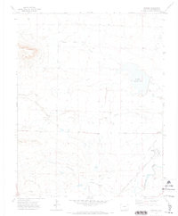
1970 · Hoehne
USGS Topo · 1:24,000