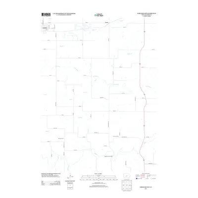
2013 Map of Earlham East
USGS Topo · Published 2013About this map
Earlham serves as the primary hub in this portion of Madison County, showing the town's eastern street grid including NE 6th St and SE 2nd St. The surrounding countryside is defined by a dense network of watercourses, most notably the winding N Br N River and its tributaries like Tom Cr and Orman Cr. This drainage pattern influenced the placement of rural infrastructure, visible in the winding path of Hogback Bridge Rd.
Find a feature on this map
50 named features on this map. Tap any name to fly to it.
Don’t see what you’re looking for? This feature index may not catch every label — zoom into the map to look around manually.
Map Details
Editions of this 2013 Earlham East Map
This is the sole edition of this map. No revisions or reprints were ever made.
Other maps of this area

1908 · Waukee
USGS Topo · 1:62,500

1949 · Adel
USGS Topo · 1:62,500

1951 · Adel
USGS Topo · 1:62,500

1951 · St. Charles
USGS Topo · 1:62,500

1952 · Winterset
USGS Topo · 1:62,500

1954 · Omaha
USGS Topo · 1:250,000

1954 · Des Moines
USGS Topo · 1:250,000

1956 · Des Moines
USGS Topo · 1:250,000

1957 · Des Moines
USGS Topo · 1:250,000

1957 · Omaha
USGS Topo · 1:250,000