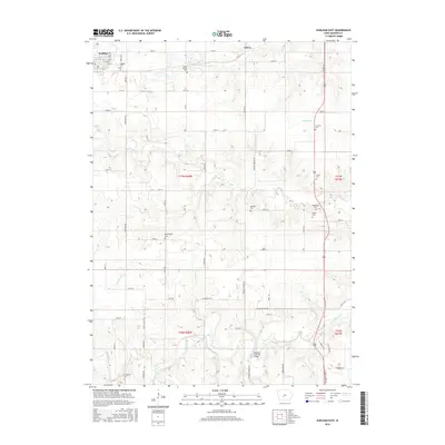
2015 Map of Earlham East
USGS Topo · Published 2015About this map
Earlham sits at the northwestern edge of this Madison County landscape, where the town's early footprint is anchored by the Earlham Cem. The terrain is defined by the winding drainages of the North River and its tributaries, including Bulger Cr, Badger Cr, and Orman Cr. These waterways create a complex topography that historically influenced road placement and cemetery locations. Genealogists will find a significant concentration of burial sites across the rural sections, from the North Branch Cem near the northern border to the Stringtown Cem in the south. A notable landmark in the southern reaches is the Hogback Covered Bridge, which spans the river in a sheltered valley. The grid of country roads like Ironwood Trl and N River School Rd connects these scattered sites, reflecting the enduring agricultural and civic structure of the region.
Find a feature on this map
42 named features on this map. Tap any name to fly to it.
Don’t see what you’re looking for? This feature index may not catch every label — zoom into the map to look around manually.
Map Details
Editions of this 2015 Earlham East Map
This is the sole edition of this map. No revisions or reprints were ever made.
Other maps of this area

1908 · Waukee
USGS Topo · 1:62,500

1949 · Adel
USGS Topo · 1:62,500

1951 · Adel
USGS Topo · 1:62,500

1951 · St. Charles
USGS Topo · 1:62,500

1952 · Winterset
USGS Topo · 1:62,500

1954 · Omaha
USGS Topo · 1:250,000

1954 · Des Moines
USGS Topo · 1:250,000

1956 · Des Moines
USGS Topo · 1:250,000

1957 · Des Moines
USGS Topo · 1:250,000

1957 · Omaha
USGS Topo · 1:250,000