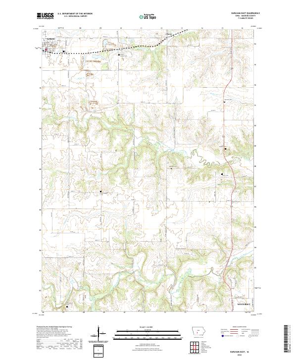
2022 Map of Earlham East
USGS Topo · Published 2022About this map
Earlham serves as the primary hub in this portion of Madison County, situated along the northern edge of a landscape defined by its rolling drainages and deep local history. The area is marked by a high concentration of small burial grounds that reflect the early agrarian settlement of the region, including Earlham Cem, North Branch Cem, and the more isolated Trester Cem. These sites, often positioned on high ground between watercourses, provide a vital spatial link to the families who established the homesteads found throughout this section of the state.
Find a feature on this map
40 named features on this map. Tap any name to fly to it.
Don’t see what you’re looking for? This feature index may not catch every label — zoom into the map to look around manually.
Map Details
Editions of this 2022 Earlham East Map
This is the sole edition of this map. No revisions or reprints were ever made.
Other maps of this area

1908 · Waukee
USGS Topo · 1:62,500

1949 · Adel
USGS Topo · 1:62,500

1951 · Adel
USGS Topo · 1:62,500

1951 · St. Charles
USGS Topo · 1:62,500

1952 · Winterset
USGS Topo · 1:62,500

1954 · Omaha
USGS Topo · 1:250,000

1954 · Des Moines
USGS Topo · 1:250,000

1956 · Des Moines
USGS Topo · 1:250,000

1957 · Des Moines
USGS Topo · 1:250,000

1957 · Omaha
USGS Topo · 1:250,000