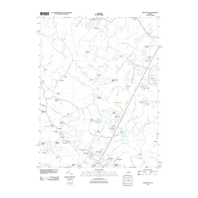
2011 Map of Earlysville
USGS Topo · Published 2011About this map
Earlysville serves as a central hub in this section of Albemarle County, where the Earlysville Post Office and Buck Mountain Cemetery mark the historic core of the community. The landscape is defined by the winding course of the North Fork Rivanna River, which is fed by numerous tributaries such as Jacobs Run and Marsh Run. Evidence of the area's agricultural and industrial heritage is visible in place names like Advance Mills, Dunns Shop, and Mill Run, reflecting a time when local waterways powered rural industry.
Find a feature on this map
126 named features on this map. Tap any name to fly to it.
Don’t see what you’re looking for? This feature index may not catch every label — zoom into the map to look around manually.
Map Details
Editions of this 2011 Earlysville Map
This is the sole edition of this map. No revisions or reprints were ever made.
Other maps of this area

1892 · Gordonsville
USGS Topo · 1:125,000

1892 · Harrisonburg
USGS Topo · 1:125,000

1930 · Madison
USGS Topo · 1:48,000

1931 · University
USGS Topo · 1:62,500

1933 · Madison
USGS Topo · 1:62,500

1935 · Charlottesville
USGS Topo · 1:62,500

1935 · University
USGS Topo · 1:62,500

1937 · Elkton
USGS Topo · 1:62,500

1939 · Charlottesville
USGS Topo · 1:62,500

1949 · Charlottesville
USGS Topo · 1:250,000