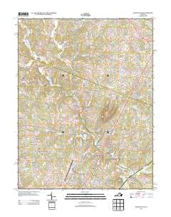
2013 Map of Earlysville
USGS Topo · Published 2013About this map
Earlysville and the surrounding Albemarle County countryside are defined by the winding course of the N Fork Rivanna River and its numerous tributaries. By the early 21st century, this area shows a transition from traditional agricultural settlements like Advance Mills and Barnes to modern residential developments such as Earlysville Heights, Jefferson Village, and Gilbert Heights. The presence of the Charlottesville-Albemarle Airport in the south-central portion of the map indicates the region's importance as a transportation hub for central Virginia.
Find a feature on this map
214 named features on this map. Tap any name to fly to it.
Don’t see what you’re looking for? This feature index may not catch every label — zoom into the map to look around manually.
Map Details
Editions of this 2013 Earlysville Map
This is the sole edition of this map. No revisions or reprints were ever made.
Other maps of this area

1892 · Gordonsville
USGS Topo · 1:125,000

1892 · Harrisonburg
USGS Topo · 1:125,000

1930 · Madison
USGS Topo · 1:48,000

1931 · University
USGS Topo · 1:62,500

1933 · Madison
USGS Topo · 1:62,500

1935 · Charlottesville
USGS Topo · 1:62,500

1935 · University
USGS Topo · 1:62,500

1937 · Elkton
USGS Topo · 1:62,500

1939 · Charlottesville
USGS Topo · 1:62,500

1949 · Charlottesville
USGS Topo · 1:250,000