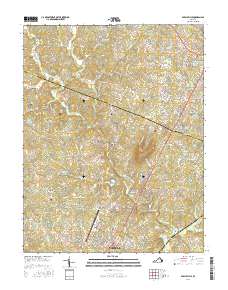
2016 Map of Earlysville
USGS Topo · Published 2016About this map
The North Fork Rivanna River meanders through this portion of central Virginia, defining the drainage patterns for numerous local tributaries like Beaverdam Cr and Jacobs Run. This 2016 survey illustrates the modern landscape of Albemarle County as it interfaces with the southern edge of Greene County. The area is characterized by a mix of established residential pockets such as Earlysville and Hollymead, alongside legacy agricultural sites like Wakefield Farm and Loftlands Farm.
Find a feature on this map
185 named features on this map. Tap any name to fly to it.
Don’t see what you’re looking for? This feature index may not catch every label — zoom into the map to look around manually.
Map Details
Editions of this 2016 Earlysville Map
This is the sole edition of this map. No revisions or reprints were ever made.
Other maps of this area

1892 · Gordonsville
USGS Topo · 1:125,000

1892 · Harrisonburg
USGS Topo · 1:125,000

1930 · Madison
USGS Topo · 1:48,000

1931 · University
USGS Topo · 1:62,500

1933 · Madison
USGS Topo · 1:62,500

1935 · Charlottesville
USGS Topo · 1:62,500

1935 · University
USGS Topo · 1:62,500

1937 · Elkton
USGS Topo · 1:62,500

1939 · Charlottesville
USGS Topo · 1:62,500

1949 · Charlottesville
USGS Topo · 1:250,000