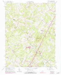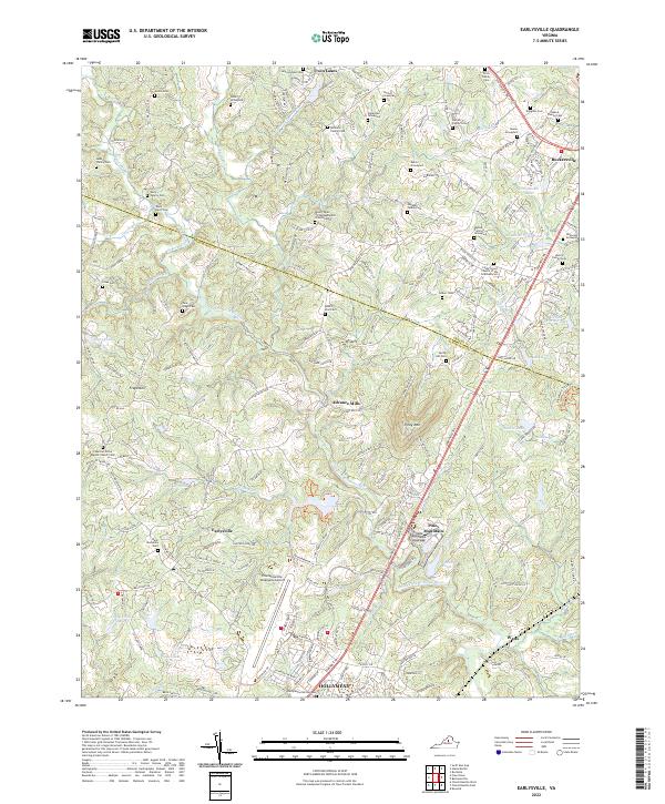
2022 Map of Earlysville
USGS Topo · Published 2022About this map
The North Fork Rivanna River carves a winding path through the heart of this landscape, connecting the rural communities of Earlysville and Advance Mills. This region is defined by its deep genealogical roots, evidenced by dozens of family burial sites such as the Gentry Family Cem, Early-Davis Cem, and Williams Family Cem. The settlement pattern reflects a transition from traditional agricultural life to modern utility, with the Charlottesville-Albemarle Airport and the expanding development at Hollymead contrasting against the older ridges like Frays Mtn. To the north, the Lynch River and Roach River feed into the primary drainage system, while numerous small lakes and farm ponds, including John Rucker Lake and Lake Saponi, dot the terrain. Local religious centers like Chestnut Grove Baptist Church Cem serve as historical anchors for the surrounding crossroads.
Find a feature on this map
214 named features on this map. Tap any name to fly to it.
Don’t see what you’re looking for? This feature index may not catch every label — zoom into the map to look around manually.
Map Details
Editions of this 2022 Earlysville Map
This is the sole edition of this map. No revisions or reprints were ever made.
Historical Maps of Advance Mills Through Time
3 maps found