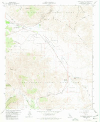
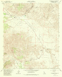
1959 Map of Earthquake Valley
USGS Topo · Published 1980About this map
The Old Overland Stage Route carves a path through this 1959 topographical record, tracing the historic transportation corridor of the Anza-Borrego Desert State Park. At the western edge, the settlement of Banner sits near the base of the mountains, while Scissors Crossing marks the junction where desert travelers navigated the complex terrain. The map highlights the intersection of natural water sources and human passage, from the Sentenac Cienaga and various prospects to the San Felipe-Butterfield Stage Station Historical Marker. Local landmarks such as the Yaquitepec Site on Ghost Mtn and the Blair Valley Ranger Sta provide specific points of interest for those studying mid-century desert habitation and land management. The geography is defined by high peaks like Grapevine Mtn and Granite Mtn, which frame the deep basins of Earthquake Valley and Mason Valley.
Find a feature on this map
49 named features on this map. Tap any name to fly to it.
Don’t see what you’re looking for? This feature index may not catch every label — zoom into the map to look around manually.
Map Details
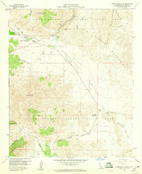
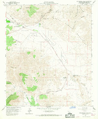
Editions of this 1959 Earthquake Valley Map
5 editions found
Other maps of this area

1903 · Cuyamaca
USGS Topo · 1:125,000

1903 · Ramona
USGS Topo · 1:125,000

1904 · Southern California Sheet No. 2
USGS Topo · 1:250,000

1931 · Vallecito
USGS Topo · 1:125,000

1931 · Carrizo
USGS Topo · 1:125,000

1939 · Santa Ysabel
USGS Topo · 1:62,500

1939 · Borrego
USGS Topo · 1:62,500

1942 · Borego
USGS Topo · 1:62,500

1942 · Cuyapaipe
USGS Topo · 1:62,500

1942 · Cuyamaca Peak
USGS Topo · 1:62,500